Flight Simulator
With the exception of my workshop, nothing has given me as much pleasure and entertainment as the hours I have spent with Flight Simulator. I started out with FltSim5, and when FltSim95 came out, took a look at it and went back to FltSim5. FltSim5 has one thing that neither 95 or 98 has - the ability to fly fractional course headings, like 095.6 or 334.4 and so on. With 95 and 98 you can only fly whole degree courses. If you are making an 1800 mile flight, for example, an error of 0.5 degrees can throw you off 15 miles at your target. Your still well with VOR range, true, but precise navigation is my goal. There is where I get the most enjoyment.
I stayed away from FltSim95, mainly because I did not like the panels and because I couldn't read them. When I got the "nwlr" panel, which is discussed at the bottom of this page, it made all the difference in the world and I have been on 95 for some time now. I have to compensate for the inability to fly fractional courses, but I've learned to deal with that. I missed the Flight Photograph option that FltSim5 had, but I overcame that with Screen Shot , which is an outstanding screen capture program.
In order to achieve the navigational precision I wanted, I wrote a long QBasic program (the link is at the bottom) which calculates the course and distance between any two points in the world. The program takes into consideration magnetic deviation and the changes in distance of a longitudinal degree as you go north or south from the equator. It is close to a Great Circle Bearing but not exactly since you can't fly great circle bearings on FltSim. I finally figured out that FltSim is laid out like a Mercator map, or very close to it, so the program takes those longitudinal change into consideration when it calulates course and distance. It is not absolutely perfect on all accasions but it's pretty close. I flew from Rio de Janiero to Freetown direct over the South Atlantic and missed Freetown by only 10 miles. And there are no navigational aids in the South Atlantic.
I use a shareware program called Mapit 2.0, which is a very good mapping program. All of the airports and beacons I have written into the basic program are plotted in Mapit, and on long-range flights I can plot my position as I fly. It has one other important asset. Let's say I'm flying to Airport X on a heading of 210 degrees and I want to land on Runway 16 which has a heading of 163 degrees. First I draw a 60-mile range curve (actually a circle) around Airport X , then I draw a line through Airport X at an angle of 343 degrees (the complement of 163). Next I draw a line from my present position to the point where the 343 degree line intersects the 60-mile range curve. Mapit gives the truc course and distance to that point. All I have to do is add in the magnetic deviation. Clever, eh, what? All this line drawing, etc., is quickly and easily done in Mapit with a mouse. I don't think Mapit is laid out exactly like FltSim but it is very accurate for calculating course changes with a 100 mile or less area. I wouldn't trust it over a lang haul. If you don't have Mapit, you should!
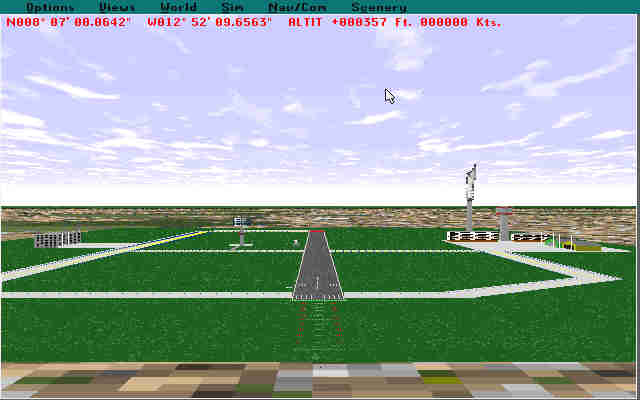
Here are FltSim5 Flight Photographs of some of the airports I have built. They were all done with Airport v123.j and SCASM 1.7. I tried Airport 2.0 for Windows but went back to 123. You can read 123 files in 2.0 but not vice versa and that meant I would have to maintain to airport files in two different directories. And that's why I went back to 123.
Freetown, Sierra Leone, Africa
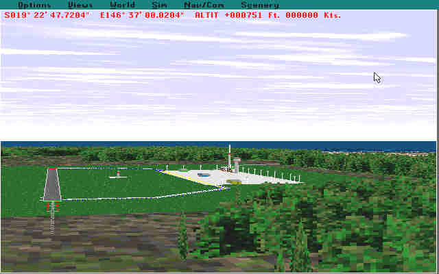
Townsville, Queensland, Australia
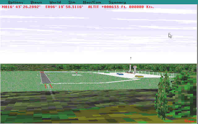
Rangoon, Myanmar ( Burma)
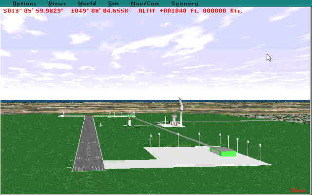
Antseranana, Madagascar
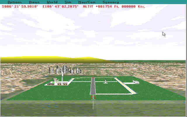
Jakarta, Indonesia
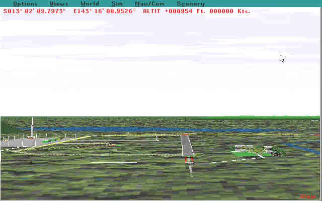
York, Cape York Peninsula, Australia
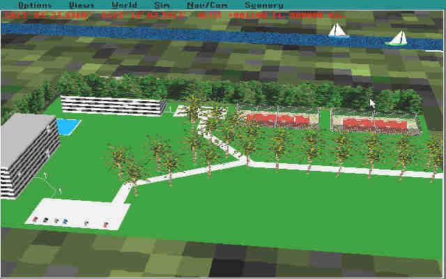
Administration and Resort Hotel area, York Airport. The river in the background is the Pascue River, which feeds into the South Pacific. The Great Barrier Reef is just offshore and reaches its closest proximity to the Australiasn coastline in this area, which is one reason this is such a popular tourist area. Add the blue-water sailing and fishing and you have a superb place to get away from it all.
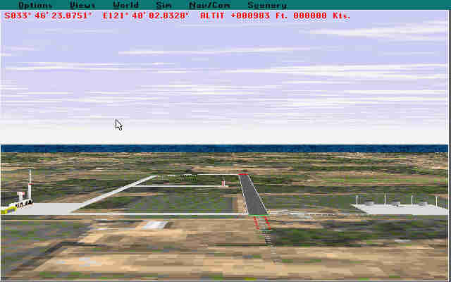
Esperance, Australia. Situated on Esperance Bay in the northwest corner of the Great Australia Bight. Popular fishing area, especially for those looking for the great white shark.
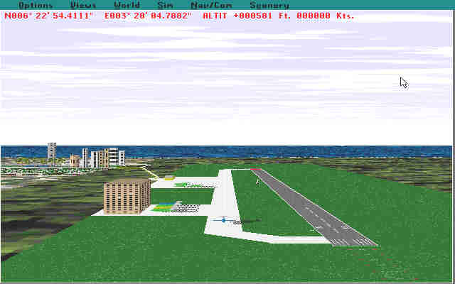
Lagos, Nigeria. This was one of my better efforts. The geographical location is off a wee bit but I had to locate it away from the FltSim Lagos to avoid conflicts.
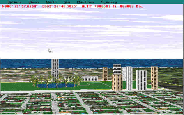
Here is a closeup of the Lagos business district, complete with City Park.
Thus ends the airport tour. If you would like any of these airports for your files, I will be happy to share them. I have about 25 more airports scattered around the world - Katmandu, Nepal; Pilbara, Australia; Dakar, Senegal; Gibraltar; Caracas, Venezuela; Peshwar, Pakistan; Honiara, Guadalcanal; Rabaul, New Britain (South Pacific); and Noumea, New Caledonia, to mention a few.
Before I go, there is one more thing that might interest you. I downloaded a panel, nwlr.pan, from www.fltsim.com and using Panel Manger 300 (available as shareware), installed it in both the Learjet and the Cessna. This panel gives you autopilot control of altitude, heading, navhold, approach and back course. Really makes flying a pleasure. I modified the panel slightly - I didn't like the HSI so I replaced it with the crosshair gauge from the original Lear panel. Works out beautifully and I can watch VOR and ILS at the same time without having to switch back and forth. Well, that's it for now. Have a long flight from Darwin to Christmas Island via Jakarta. See you soon!
e-mail me at
| This
page has been visited |